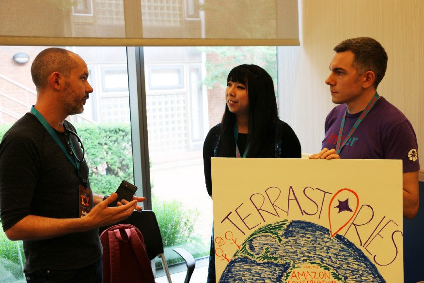
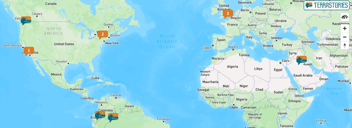
Terrastories mentioned in Cloud-Native Geospatial Foundation blog post
“Being free from the constraints of a typical tech company means Protomaps is a better fit for applications underserved by the traditional software industry. Journalism and the public sector are two areas that have adopted PMTiles. Other use cases I’ve learned about in the past month include wildfire mapping in British Columbia and a storytelling app for indigenous communities.”
Read more
![[Scientific American] How Indigenous Groups Are Leading the Way on Data Privacy](/media/images/654_2328F2E4-EBDC-4950-88C889742C8069B8_source.webp)