rkemper

Terrastories mentioned in Cloud-Native Geospatial Foundation blog post

“Being free from the constraints of a typical tech company means Protomaps is a better fit for applications underserved by the traditional software industry. Journalism and the public sector are two areas that have adopted PMTiles. Other use cases I’ve learned about in the past month include wildfire mapping in British Columbia and a storytelling app for indigenous communities.”

Explore: a landmark achievement for Terrastories

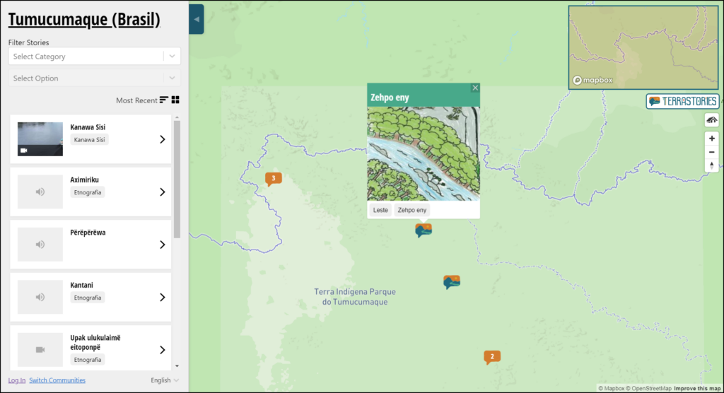
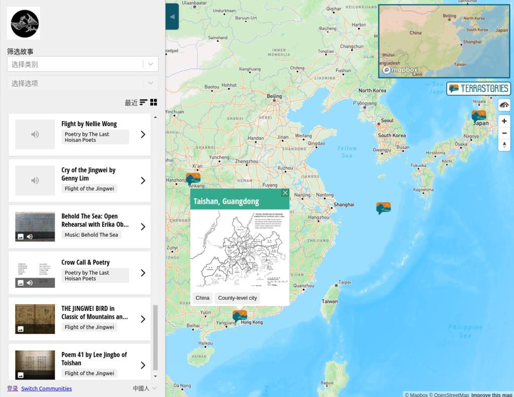
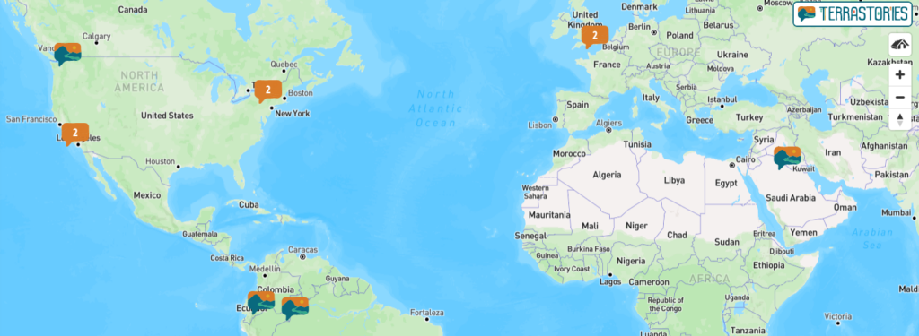
For the first time ever, using a new feature called  Explore Terrastories, some of the content that communities have been creating on Terrastories can be explored freely without needing to log in.

Explore Terrastories! Local stories for a wider public

 Explore Terrastories, a freshly released feature, weaves a new bridge between local processes and a broader public, with access to specific place-based stories that communities have decided to share online.

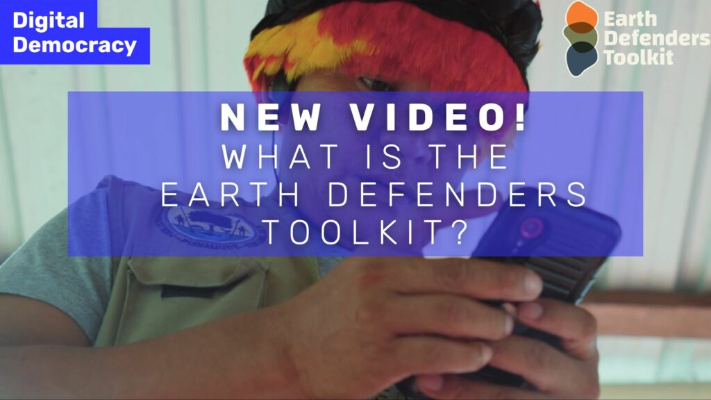
Terrastories featured in new “What is the Earth Defenders Toolkit” video!

This network of people and organizations met together in the Ecuadorian Amazon in May 2023, during the Earth Defenders Toolkit Gathering, convened by Digital Democracy. In this video, partners and allies from Waorani, Siona, Wayana and Mohawk territories, share their experiences with using these tools and the inspiring connections that were nourished at the Gathering. 

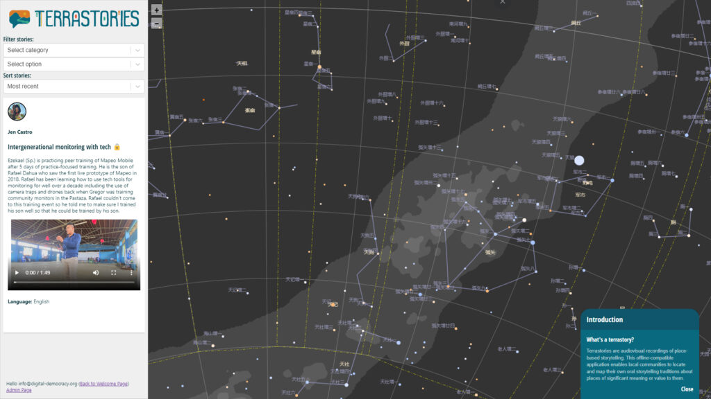
Help us create StellarStories: community storytelling about the cosmos

…we propose to leverage the Terrastories codebase to create a sister application of Terrastories for mapping oral histories about the cosmos, called StellarStories. We will adapt the Terrastories API, CMS, and front-end to work with an interactive canvas of the cosmos. Communities will be able to use the same features in Terrastories to control who has access to the content, decide on whether to host their stories online or offline, create curricula of stories for educational purposes, and design a public view of their StellarStories for a global audience to explore.

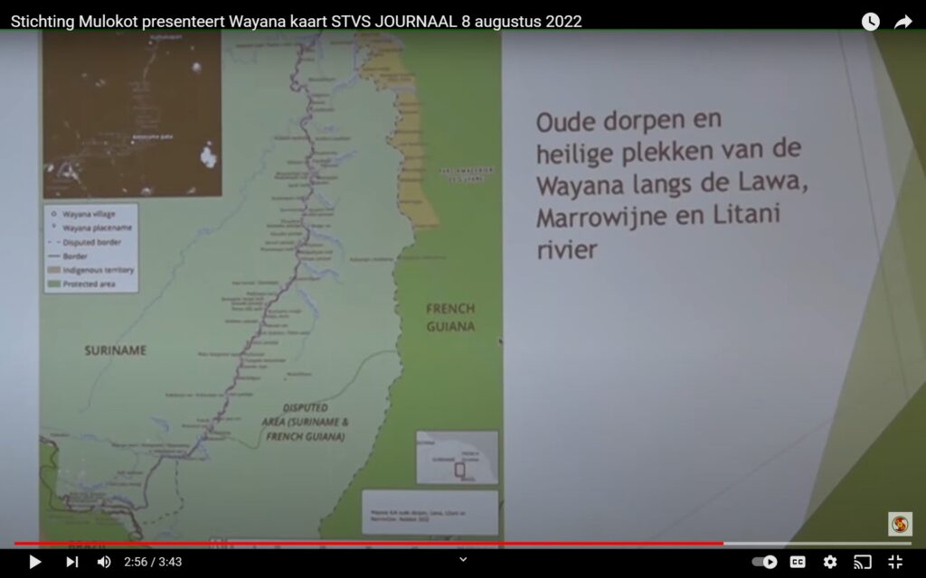
Wayana community in Suriname uses Terrastories as part of their mapping project

PARAMARIBO — According to the Wayana natives, their habitat, which has been demarcated by themselves, covers about 15 percent of Suriname. The Wayana area has a total area of 24,865 square kilometers and is located in the southeast of the country. That came out on Monday at the presentation of George Awankaroe who was closely involved in the demarcation process. This area is home to 862 indigenous people and has nine villages.