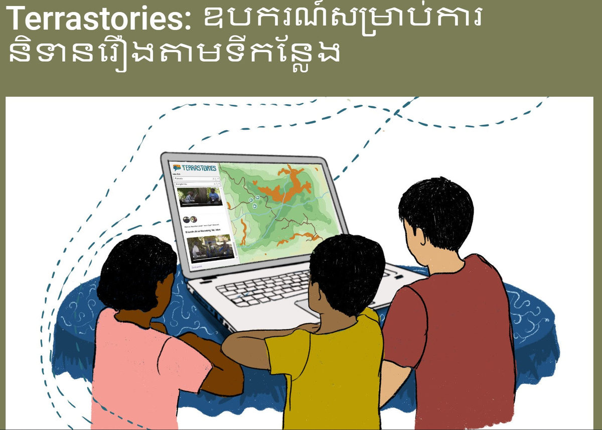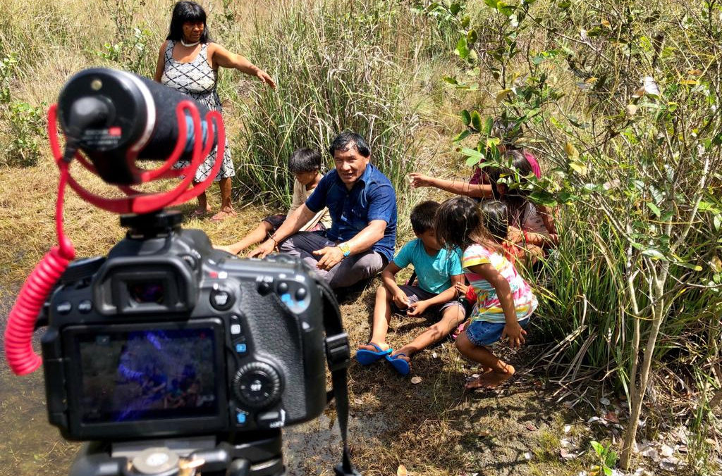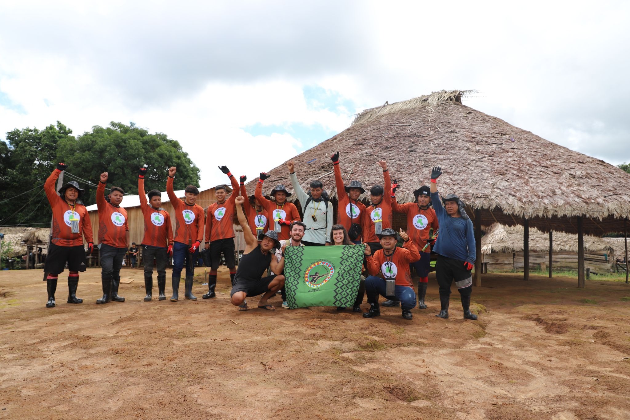
Audiovisual and georeferenced records strengthen territorial monitoring in Tumucumaque Leste
From May 20–24, 2026, Wayana, Aparai, Tiriyó, Akuriyó, and Katxuyana youth gathered in Matawaré village in the eastern Tumucumaque and Paru D'Este Indigenous Territories for an audiovisual and georeferenced recording workshop. Working with Iepé and Awana Digital, the youth updated a shared CoMapeo database of points of interest and began building a community-led historical record of the Zehpo Eny ("cave of bones"), with results soon to be published in Terrastories.
Read more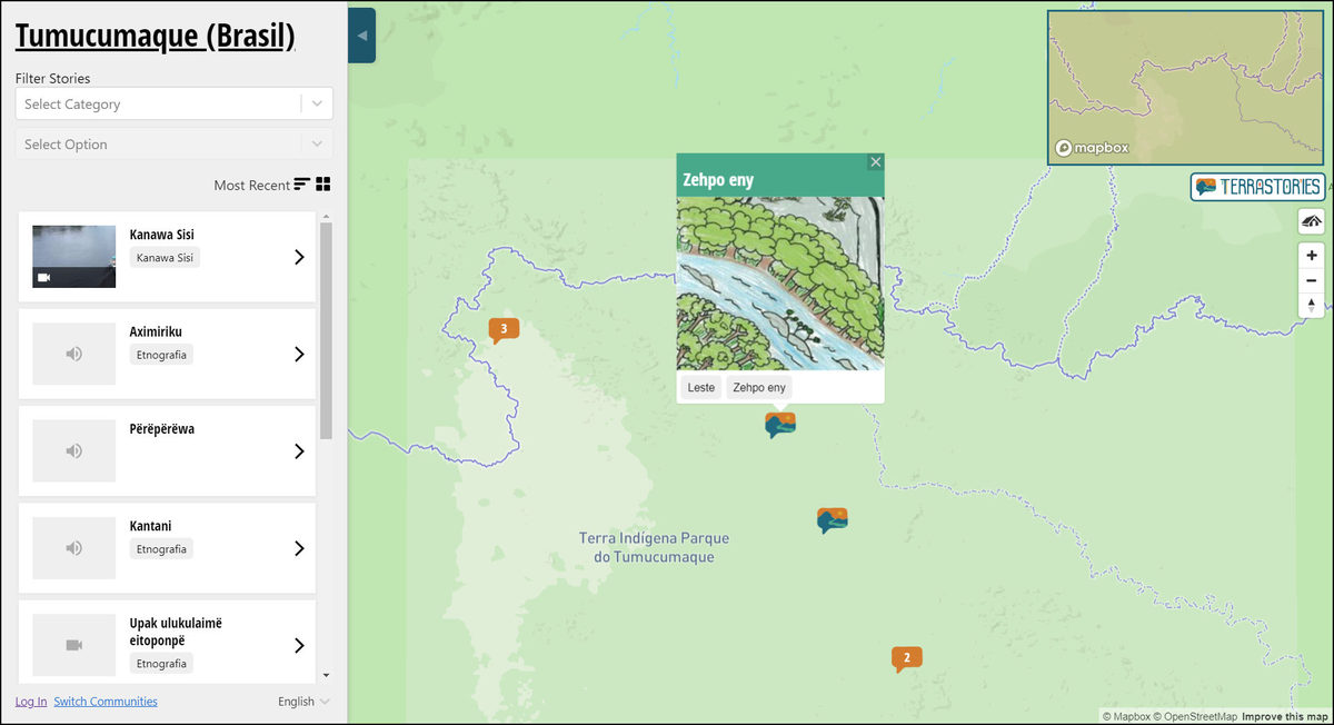
![[Scientific American] How Indigenous Groups Are Leading the Way on Data Privacy](/media/images/654_2328F2E4-EBDC-4950-88C889742C8069B8_source.webp)