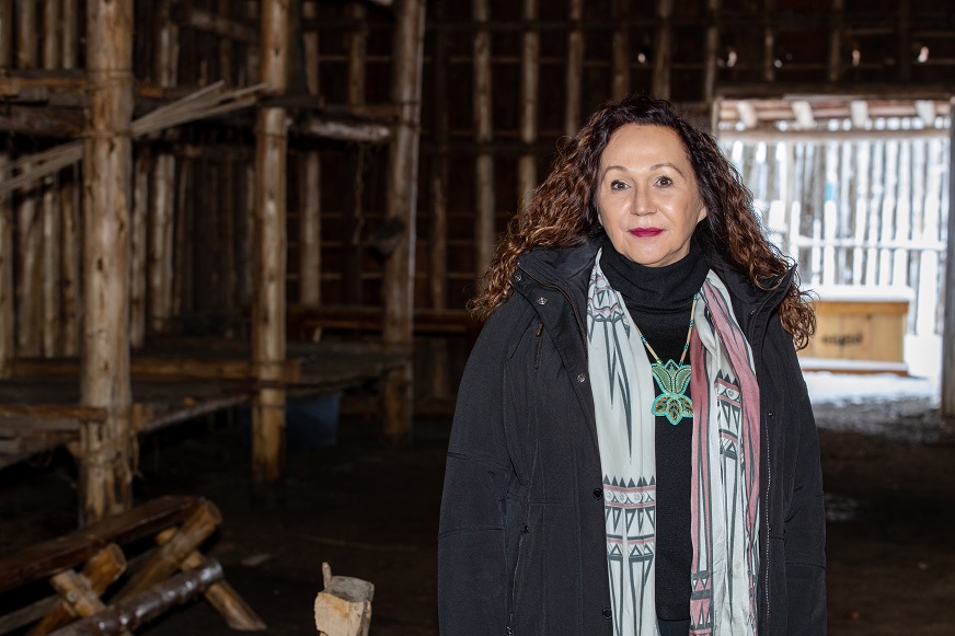
(Mongabay) Empowering Indigenous youths with tradition and tech: Q&A with Dawn Martin-Hill

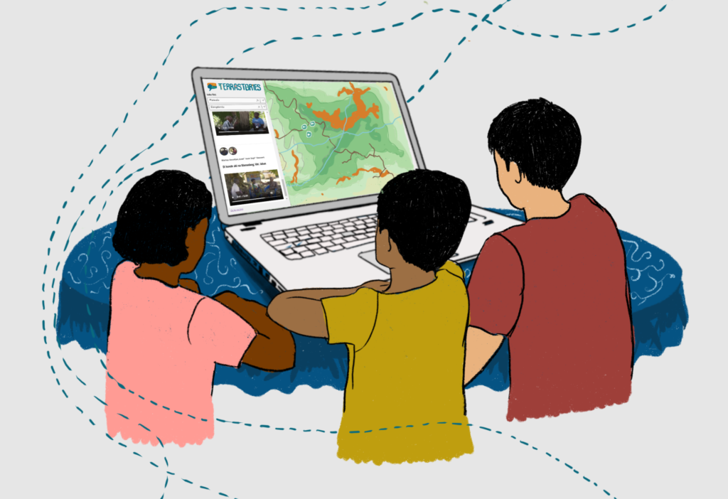
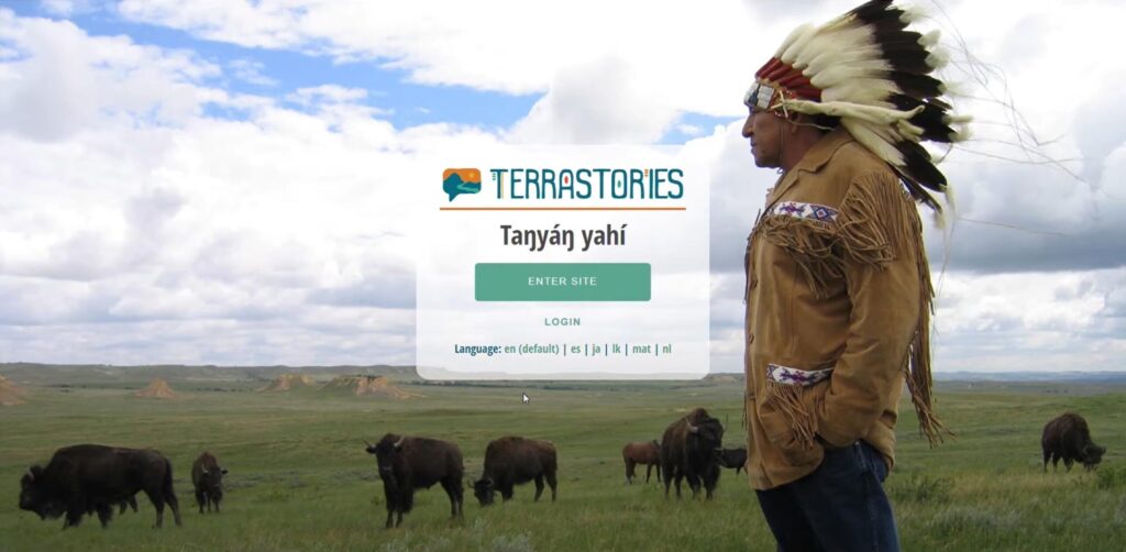
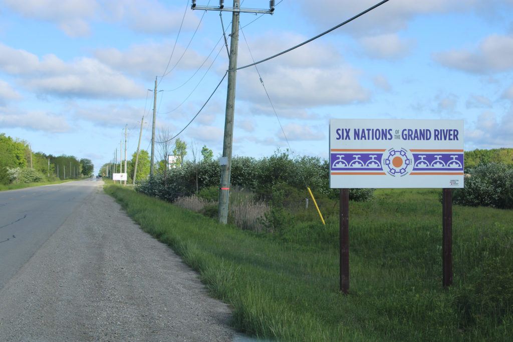
In addition to water woes, the Six Nations face ongoing challenges regarding their land rights. As one way to help protect their land and water, Martin-Hill introduced Terrastories, a place-based storytelling app that decolonizes geography, landscapes and waterscapes. Terrastories integrates data with the Indigenous vision for the land using ancestral land maps, water quality data and oral histories of the land.

GEO Indigenous Hack4Covid: Terrastories is Preserving History Using Storytelling and Geo-mapping

Originally posted on Space in Africa, here. In June 2020, 146 participants from 33 countries participated in the GEO indigenous Hack4covid event. In this series, we will profile the four winning teams from the contest and their projections.  One of the winning ideas is the Terrastories map, which aims to help in the transmission of knowledge …

GEO Indigenous Hack4Covid: Terrastories is Preserving History Using Storytelling and Geo-mapping Read More »

Oral Histories: Helping the Kogui Manage their Territory

In contexts like the Sierra Nevada de Santa Marta—where the recovery of ancestral territory is prioritized by the indigenous groups—the importance of instructing leaders in the use of tools that allow them to improve their capacity to understand and manage their lands is essential.

Mapping oral history in the rainforests of Suriname

The classroom was abuzz. Groups of students sat together around mobile phones, exploring a digital map of their traditional homeland, watching videos of their elders telling stories of community history and traditions. Watching them, I could tell that the Terrastories project was onto something.